AI Adventures: Safer Hitchhiking With Smart Route Planning
AI Adventures: Your Guide to Safe Hitchhiking With Smarter Route Planning
Hitchhiking safety improves when decisions are made early, calmly, and with reliable information. Modern AI tools can help evaluate routes, predict risk factors, and keep a simple safety routine consistent—before the first ride and between every pickup. This guide lays out a practical, step-by-step approach to using AI for planning, communication, and contingency handling while keeping privacy and common sense at the center.
Set a Safety Baseline Before Any Planning
Before route ideas or “best spots” enter the conversation, set a baseline that doesn’t change with mood, luck, or pressure. This is the part that turns a risky day into a boring (and therefore safer) day.
- Define non-negotiables: daylight-only vs. night rides, minimum traffic volume, weather cutoffs, and regions you won’t enter.
- Create a personal risk profile: experience level, language comfort, medical needs, and solo vs. partnered hitchhiking.
- Prepare an emergency plan: choose a trusted contact, set a check-in schedule, and arrange a clear “no questions asked” pickup option.
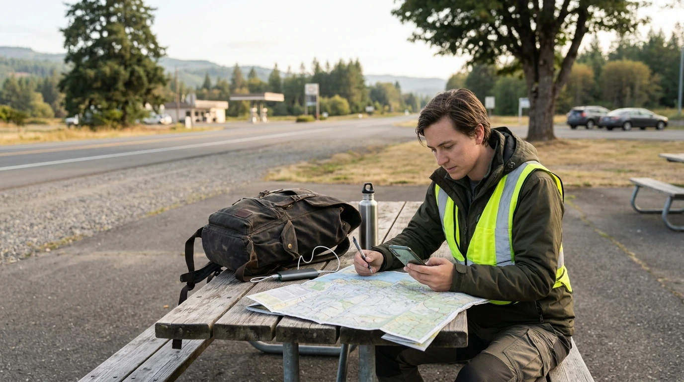
- Assemble essentials: charged phone, backup battery, reflective gear, water, snack, cash, and an offline map option.
- Decide what data is safe to share: keep home address, full identity details, and real-time location away from strangers.
Use AI to Choose Routes That Favor Safety Over Speed
AI becomes most useful when it’s given constraints that reflect real hitchhiking needs: safe pull-offs, visibility, services, and bailouts. Instead of asking for “the best route,” ask for three versions and compare.
- Request multiple variants: a fastest option, a safest option (daylight + service access), and a “fallback” that stays near public transportation.
- Include hitchhiking constraints: safe pull-off areas, clear sightlines for drivers, and proximity to services like gas stations and rest stops.
- Layer real-world signals: weather alerts, closures, wildfire/smoke zones, and seasonal traffic patterns.
- Avoid dead zones when possible: long stretches with no coverage, sparse traffic, or limited exits—unless there’s a planned bailout.
- Validate suggestions: cross-check with at least one mapping app and one local source (transport authority, park service, or local advisories).
For weather-driven route decisions, rely on official alerts where available, such as National Weather Service (NWS) Alerts. When planning for emergencies, know how wireless calling and location work in your region via the FCC’s guidance on 911 and wireless services.AI planning tasks, required data, and safer fallbacks
| Planning task | What to provide the AI | What it can improve | Offline/low-signal fallback |
|---|---|---|---|
| Select a hitching spot | Approximate area, time of day, direction of travel | Identifies high-visibility, high-traffic locations with safe pull-offs | Pre-save 3–5 candidate spots on an offline map |
| Predict weather and timing risk | Route segment, date/time window | Avoids storms, extreme heat/cold windows, and night arrival | Carry a printed forecast summary or screenshot checkpoints |
| Plan service and rest stops | Distance tolerance, budget, water/food needs | Ensures regular access to bathrooms, water, and shelter | Write down next two towns and emergency shelters |
| Create a bailout plan | Nearest towns, transport hubs, budget | Identifies bus/train options and safe places to wait | Store local transit numbers and offline schedules |
| Check-in workflow | Trusted contact details, preferred cadence | Automates reminders and structured updates | Pre-compose SMS templates for low data |
Driver and Ride Assessment: Quick, Repeatable Checks
AI can’t read intent, but it can help standardize your decision-making so you’re not improvising under social pressure.
- Use a 15-second pre-ride checklist: general vibe, sobriety cues, vehicle condition, and alignment with your destination.
- Generate short “decline scripts” in advance: polite, firm lines that end the conversation without escalation.
- Set boundaries before entering: destination, expected drop-off zone, and no detours without agreement.
- Choose seating with exit in mind: context matters; prioritize clear communication and an easy out.
- Trust early discomfort: ending the interaction doesn’t require proof or a debate.
Communication and Check-Ins That Actually Work on the Road
For general travel health and safety considerations that can affect route planning (heat risk, outbreaks, or destination advisories), check the World Health Organization (WHO) travel advice.
Privacy and Digital Safety While Using AI Tools
Handling Common Road Scenarios With AI-Assisted Decision Trees
A Simple Kit: Templates and Prompts for Real-World Use
Guidebook Spotlight: AI Adventures
If you want a single, repeatable system rather than scattered tips, AI Adventures: Your Guide to Safe Hitchhiking – The Ultimate Guide to AI for Hitchhiking Safety and Route Planning focuses on combining practical hitchhiking habits with AI-powered route selection, check-ins, and contingency planning that doesn’t depend on perfect connectivity.
For the physical side of long roadside days, supportive footwear and a secure carry option can make waiting, walking, and quick repositioning easier. Consider packing gear that matches your baseline: New Balance 550 Sneakers for comfortable miles, and an organized everyday carry like the Elegant Structured Crocodile Pattern Leather Shoulder Bag – Soft Texture for essentials you need reachable during check-ins.
FAQ
Can AI tell whether a ride is safe?
No—AI can’t judge a driver’s intent or guarantee safety. What it can do is help you follow a consistent assessment routine, surface common red flags, and remind you to keep boundaries, check-ins, and an exit plan ready.
What should be included in a hitchhiking check-in message?
Include your current town or landmark, direction of travel, the next planned stop, and the time of your next check-in. If you’re sending it to a trusted contact and it feels safe to do so, add a basic vehicle description and license plate.
How can route planning work when there is no signal?
Use offline maps with saved waypoints, screenshots of key segments, and a written list of bailout towns and transit hubs. Schedule SMS check-ins when possible and manage power so your phone stays available for emergencies.














Leave a comment